
powered by
- SJV Gateway |
- Datasets |
- San Joaquin County Parcels
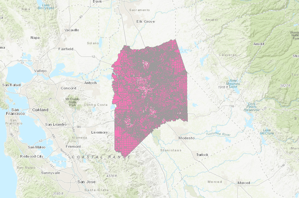
San Joaquin County Parcels
Mar 30, 2020
(Last modified Feb 25, 2021)
Uploaded by
Conservation Biology Institute
- Description:
San Joaquin County, Tax Parcels
The county webpage is the authoritative source for this dataset.
http://sjmap.org/GISDataDownload.htm
- Data Provided By:
- San Joaquin County with post-processing performed by Conservation Biology Institute
- Content date:
- 2020
- Contact Organization:
-
Conservation Biology InstituteSan Joaquin County
Community Development
Geographic Information Systems
- Contact Person(s):
- Use Constraints:
- Disclaimer The information on these maps is based on the most current information available to San Joaquin County Geographic Information Systems. The County of San Joaquin does not warrant its accuracy or suitability for any particular purpose. The information on these maps is not intended to replace engineering, financial or primary records research. Maps & Data: Issues/Usage/Interpretation Whether on paper or electronic, all maps are merely abstractions. A map is an attempt to represent some aspect of reality for some specific purpose. No single map is perfect for all purposes. The maps and data presented here are aggregated from a wide variety of sources. Care has been taken to integrate these various data sources as well as possible. However, each agency providing data may have their own internal standards for accuracy and timeliness that may affect the degree to which the various data sources agree with each other. Thus you may find that parcel lines (from the Assessor's office) may not line up exactly with flood data (derived from FEMA maps) or census boundaries (derived from US Census maps) or with aerial photography, et cetera. Each of these data sources may be considered on their own, for their own purposes, but comparisons among them may not be directly possible, and some manual interpretation may be necessary. Maps are also created with specific scales in mind that may limit their accuracy. For example, map data intended to be presented at a county-wide scale may have been simplified or created in a generalized manner such that fine details when zoomed in very close are not available. For example, state-wide soils data will not be accurate down to a specific parcel level of detail. There are also timing issues to contend with, as each data source may not be updated with the same frequency. Even among the Assessor's office, the data from their mapping department (parcel lines) and their data entry department (textual parcel information) may not be updated concurrently. Thus for recently modified parcels you may find discrepancies in the data. The maps presented here represent an ongoing process of data creation - they will never be finished. The underlying data is constantly changing. Every attempt has been made to keep the data as current and accurate as possible, but these maps cannot be considered an authoritative source of data. Service provided by San Joaquin County Community Development Geographic Information Systems Last Modified 04/05/2019
- Layer:
- Layer Type:
- Currently Visible Layer:
- All Layer Options:
- Layers in this dataset are based on combinations of the following options. You may choose from these options to select a specific layer on the map page.
- Description:
- Spatial Resolution:
- Credits:
- Citation:
- Purpose:
- Methods:
- References:
- Other Information:
- Time Period:
- Layer Accuracy:
- Attribute Accuracy:
FGDC Standard Metadata XML
Click here to see the full FGDC XML file that was created in Data Basin for this layer.
Original Metadata XML
Click here to see the full XML file that was originally uploaded with this layer.
This dataset is visible to everyone
- Dataset Type:
-
Layer Package
Bookmarked by
1 Group
Included in
1 Public Map
,
3 Private Maps
Included in
1 Public Gallery
http://sjmap.org/GISDataDownload.htm
About the Uploader
Conservation Biology Institute
We provide advanced conservation science, technology, and planning to empower our partners in solving the world’s critical ecological challenges